


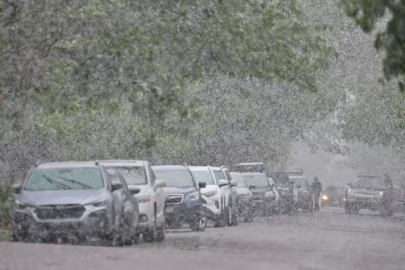
A spring storm began blanketing the Front Range with wet, heavy snow on Tuesday afternoon, and forecasters said it could bring 5 to 8 inches across most of the Interstate 25 corridor and up to a foot closer to the foothills and the Palmer Divide. The storm is expected to continue through Wednesday morning, with the National Weather Service warning that the weight of the snow could damage trees and trigger scattered power outages across the Denver metro.
The storm was on track to become one of Denver’s largest May snowstorms on record, a rare late-season punch that arrives while much of the region is already watching for spring cleanup rather than winter response. The weather service said just 3 to 5 inches of wet snow can break small tree limbs, 8 inches can cause significant damage to large trees, and up to a foot could lead to widespread, nearly catastrophic tree damage.
By Tuesday evening, most of Colorado was under severe weather alerts. New winter storm warnings were in effect from 8 p.m. Tuesday to 3 p.m. Wednesday for the metro area, covering parts of Adams, Arapahoe, Boulder, Broomfield, Denver, Douglas, Elbert, Jefferson and Larimer counties. Winter weather advisories also covered parts of Adams, Arapahoe, Elbert, Grand, Jackson, Lincoln, Morgan, Park, Summit, Washington and Weld counties during the same period.

Warnings issued Monday for higher-elevation areas in Boulder, Grand, Jackson and Larimer counties also remained in effect until 3 p.m. Wednesday. The heaviest snow outside the mountains was expected to taper off Wednesday afternoon, but commuters faced snowy roads through Wednesday morning before conditions begin to ease.
Xcel Energy said it plans to place crews on standby to respond to outages caused by the storm. Officials urged residents to stay away from any sagging or downed power line and never to touch or move one; instead, they said, people should leave the area and report it immediately by calling 1-800-895-1999.
The storm’s impact does not end when the snow slows. Freeze watches are set to cover large swaths of Colorado from Wednesday night into Thursday morning, and the Yampa River Basin is under an additional freeze watch for Tuesday night. Forecasters said frost and freeze conditions could kill crops, other sensitive vegetation and possibly damage unprotected outdoor plumbing.
For Denver, the immediate question is not whether this is a memorable storm but how much damage it leaves behind. The snow is heavy enough to break branches, the warnings are in place through Wednesday afternoon, and the metro is already bracing for outages before the first round of cleanup begins.