


Saturday is expected to be the rougher day of Mother's Day weekend, with periods of rain from morning through sunset, breezy and cool conditions, and temperatures running 10 to 15 degrees below normal. The rain should become more substantial late in the afternoon and into the evening, and forecasters say a few rumbles of thunder cannot be ruled out, though severe weather is not a concern. WFSB declared a First Alert Weather Day because the rain is expected to disrupt outdoor plans.
The rain could bring about 0.5 to 1.0 inches, with locally higher amounts possible, but there is no anticipated flooding threat because the wet weather is spread across a 12- to 18-hour window. For people hoping to salvage the weekend, Mother’s Day looks like the better bet: most of the day is expected to be dry, with only isolated afternoon showers possible, and temperatures should peak in the upper 60s to lower 70s. That would make it the warmest day of the next seven days.


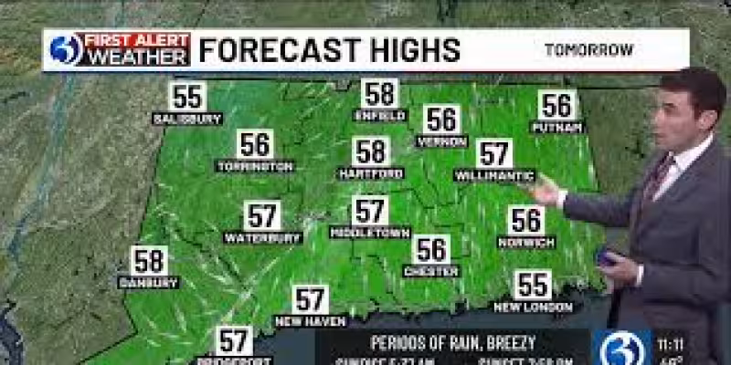
The forecast then turns unsettled again Sunday night, when showers are expected to increase and linger through Monday morning. Cloudiness should give way to at least partial clearing Monday afternoon, but highs will only reach the 50s. Tuesday is expected to be partly to mostly sunny, while Wednesday should start dry before showers arrive late and continue into Thursday. Temperatures are expected to stay below average through Thursday before turning milder Friday.
The weekend pattern is not just a local story. Across the country, Mother's Day weather ranges from soaking rain in parts of the South to sunshine in other regions, with a frontal system sliding through the South and East on Sunday. Scattered showers and thunderstorms are expected ahead of it, but most of the affected Southern and Eastern areas should not see all-day rain. A few strong to severe storms are possible late in the day from Texas to Louisiana, Arkansas and southern Oklahoma, while much of the western half of the country is expected to stay mainly dry.
Along the Northeast coast, including Boston and New York City, most rain should hold off during the day. The central Plains, Rockies and Northwest could see highs in the 70s in some places, while the western Great Lakes may stay cooler under a northeast breeze off the lake and more clouds than sun. Farther south, Miami is likely to get above 90 degrees, Phoenix could reach between 105 and 110 degrees, and daily record highs are possible from California into Nevada and southern Idaho. For anyone trying to plan around the weather, Saturday is the day most likely to interfere, and Mother's Day itself is looking like the smoother part of the weekend.