




Wet weather briefly interrupted the Indianapolis 500 on Sunday as thunderstorms swept across central Indiana, while a soggy weather pattern kept much of the eastern half of the nation under wet and cool conditions. The race got underway around 12:45 p.m. ET and was suspended briefly on the 106th lap when a thunderstorm moved in.
At O'Hare International Airport in Chicago, the Federal Aviation Administration issued a ground stop on Sunday morning because of thunderstorms. Arriving flights were facing average delays of 44 minutes, and departures were delayed by as much as one hour and 45 minutes.
The same system is spreading trouble well beyond Indiana. Flood watches have been issued through Memorial Day from southeastern Louisiana into Mississippi, Alabama, Georgia, Tennessee and West Virginia, including Atlanta, Baton Rouge, Birmingham, New Orleans, Knoxville and Charleston. A widespread one to two inches of additional rain is likely from southern Louisiana up to the Carolinas, with pockets of two to four-plus inches possible where the heaviest downpours set up. Some of the storms could also bring gusty winds and small hail.
The National Weather Service office in Indianapolis is forecasting a chance of isolated showers and thunderstorms throughout the afternoon, which leaves open the possibility of more interruptions at the 110th running of the Indianapolis 500. The event already felt the impact once, and any repeat burst of rain could do it again.



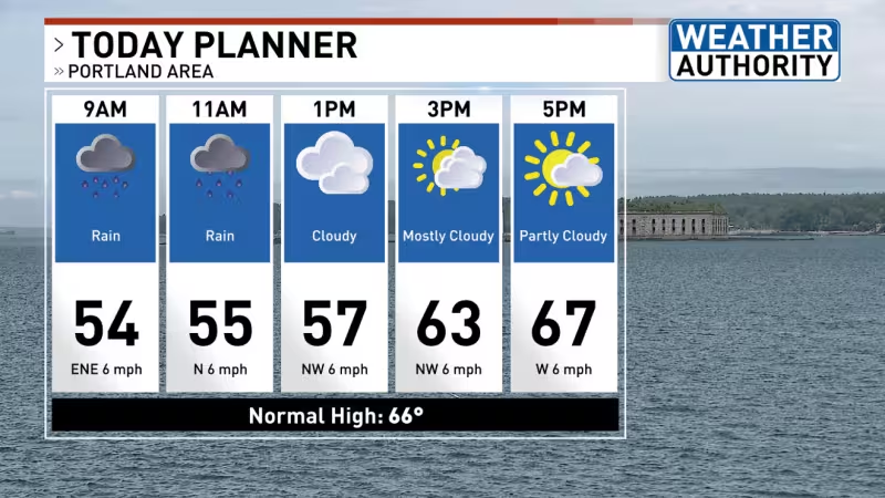
By Memorial Day, the Northeast should improve as warmer and drier air sweeps from west to east through the day. Morning rain nearer the coast is expected to clear by afternoon in most spots, with some sunshine reaching the I-95 corridor later in the day. Highs are forecast in the 70s across much of the Northeast, including Washington and New York City, after a cool stretch in the 60s and near 70 degrees in places earlier in the period.
The Midwest should also see better conditions for the holiday, with mostly dry and warm weather in place for most of the region and highs in the 80s from Chicago to Minneapolis. A few scattered morning showers are possible from Iowa to the western Great Lakes, but the larger story is the return of more seasonable warmth.
Farther west, the Plains will warm into the 90s in Montana and North Dakota, while much of the West stays warm and dry except for parts of the Pacific Northwest. Rain is expected to move into western Oregon and Washington by Monday afternoon, including Portland and Seattle, before clouds and showers spread into the Northwest and later into the intermountain West during the week. It will not be a complete soaker, but the region is headed for a wetter stretch.
The South, meanwhile, remains the trouble spot. Scattered rain and thunderstorms are expected to continue into the new work week, and that could mean minor flight hiccups for travelers and slippery roads for drivers. The pattern does not clear quickly, and the same states that spent Sunday under watches will stay unsettled through the holiday.
For anyone trying to get home, get to a race or move through a holiday airport, the answer is straightforward: the weather forecast improves in the Northeast and Midwest by Memorial Day, but the South keeps the rain and the travel headaches a little longer.